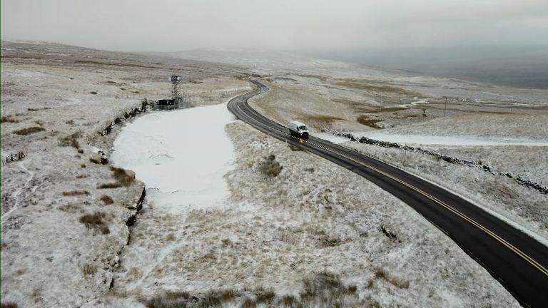
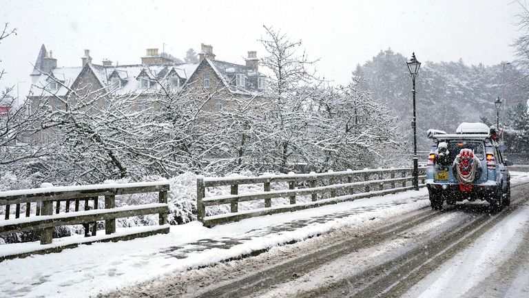
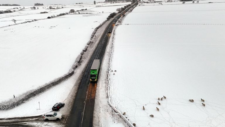
It’s an early call for winter weather, but not unheard of.
Currently, we have low pressure to the east of us (anticlockwise winds) and high pressure to the east of us (clockwise winds).
So we’re seeing a forcing of northerly winds across the country, accentuating the cold already associated with the Arctic air which has spread to all parts of the country.
For those not interested in the details – it’s cold. Get the big coat out, the wellies, the hat, scarf and gloves.
Many parts of the country reported snow on Wednesday morning, but snowman conditions they were not.
Check the forecast for your area
Just the odd flurry – a little lying snow – mostly a sleety mix which is leaving standing water here, there and everywhere which is likely to cause much less desirable winter hazards on Wednesday night.
Inland areas are bright, crisp and dry. Windward coasts will see the showers coming in, both east and west.
Most of these, falling near the coast, will fall as rain.
But any incursion inland could mean further snowfall, potentially accumulating in places.
On Wednesday night, temperatures will plummet under largely clear skies – zero or below even in the towns and cities.
Rural areas can expect more spectacular sub-zero temperatures with a widespread and penetrating frost by dawn.
And the ice – that may be a problem.
Sub-zero temperatures will render untreated roads and pavements instant ice rinks, with great care needed.
Why the ‘528’ line is important
Now, for those interested, peruse the pressure charts and if you squint hard, you’ll see the ‘528’ line, otherwise known as the ‘snow line’, encompassing the entire country.
In essence, anything that falls out of the sky to the north of that line will likely fall as sleet or snow. Everything to the south will fall as rain.
For a while, at least, the entire country sits within that snow vulnerable area.
And it’s not just the UK and Ireland, the ‘528’ is going to extend down through France to the Spanish border, extraordinary for the time of year.
Early signs for a cold December
But this is just a taste of things to come – milder conditions will return this weekend with rain belts moving off the Atlantic and turning the wind direction from north to west.
Long-term forecasts are notoriously unreliable, but there are good signals for an SSW (sudden stratospheric warming) by the end of the month.
This weather phenomenon sees the polar winds weaken or reverse, allowing polar air to spill across areas that usually enjoy milder conditions.
It was an SSW that brought us the ‘Beast from the East‘.
Read more from Sky News:
British woman among five killed in snowstorm
How climate change could make UK temperatures plummet
Combined with many other indicators, there are early signs that December is going to err on the chilly side.
So, use the next couple of days as a dry run – then we’ll be ready when, or if, the cold really hits.


