

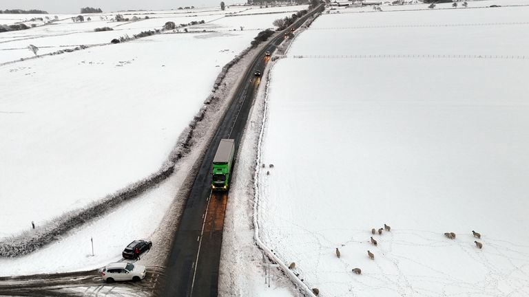
Amber and yellow weather warnings for snow and ice are in place across the country, with some parts already hit by freezing temperatures and heavy snowfall.
Up to 25cms of snow could fall in some parts of the country, forecasters warned, with snowfall already recorded in northern parts of the UK, as well as central parts and as far south as London.
The Met Office warned the wintry weather “could create some particularly tricky travel conditions”.
A yellow warning for ice is in place across much of Wales, northern and central England and southern Scotland until 11am on Wednesday.
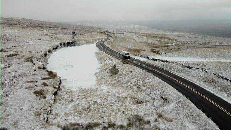
Snow-capped hills in Cumbria on Tuesday
An amber weather warning for snow has been issued for parts of Yorkshire on Thursday between 5am and 9pm – with forecasters warning of significant accumulations of snow.
Frequent wintry showers will feed inland from the North Sea, making conditions difficult over the North York Moors and parts of the Yorkshire Wolds.
By the end of Thursday, as much as 15-25cm may have accumulated on hills above 100m elevation, which is likely to cause “substantial disruption”, the Met Office said.
It added that power cuts and travel delays on roads were likely, possibly stranding some vehicles and passengers.
Temperatures could even fall to as low as -11C in some parts of Scotland on Thursday night.
Overnight snow in Castleside, County Durham
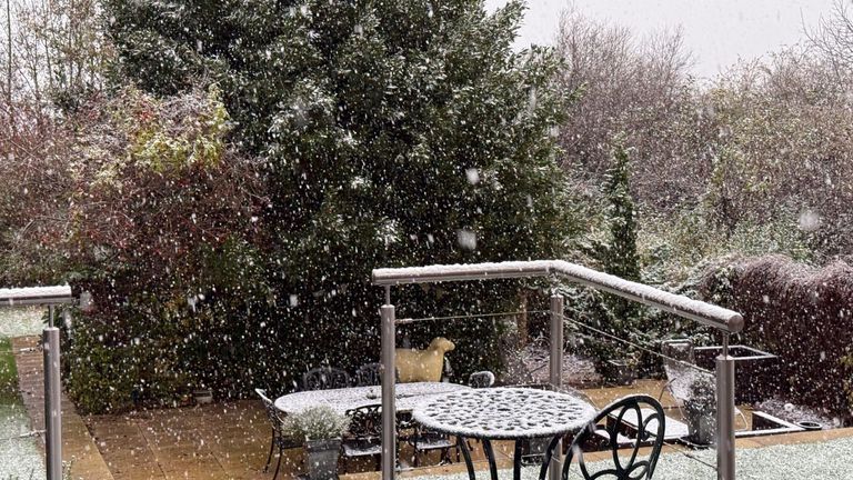
Snow in High Wycombe
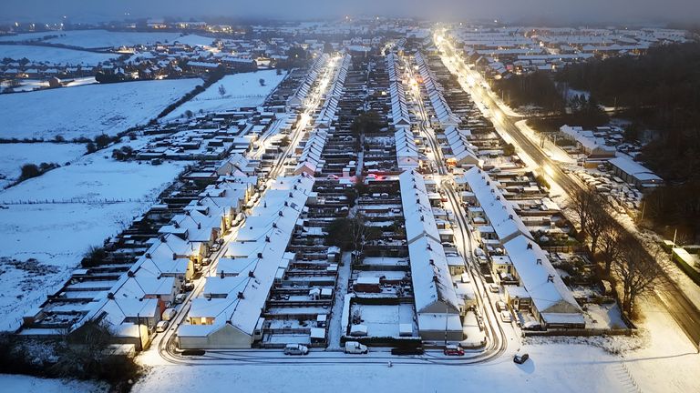
Overnight snow covers Leadgate in County Durham
Met Office chief forecaster Neil Armstrong said: “Cold Arctic air from the north is firmly in charge of the UK’s weather, bringing the first notable cold snap of this autumn and giving an early taste of winter weather.
“As a result, winter hazards are likely through the next few days, with snow and ice a particular hazard, and the coldest conditions likely on Wednesday and Thursday.
“Wintry showers will affect areas exposed to the brisk northerly wind, in particular Northern Ireland, south-west Wales, south-west England, north-east England and across the northern half of Scotland.”