

Dozens of flood warnings have been issued – with a yellow warning for ice still in force across parts of the UK.
A series of snow and ice warnings expired throughout the weekend, but a yellow ice warning is still in place until 10am on Monday, covering eastern Scotland and north-east England.
Meanwhile, the Environment Agency urged the public to stay vigilant amid the continuing flood risk.
There are 75 flood warnings – where flooding is expected – already in place across England. The Environment Agency has also issued a further 206 flood alerts, where flooding is described as possible.
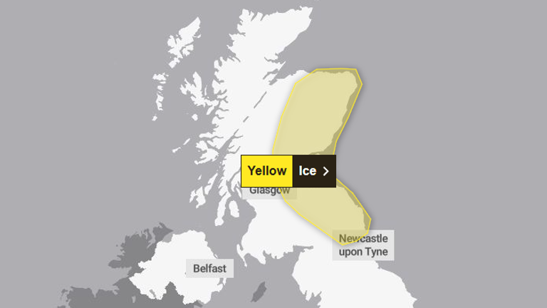
Ice forming on untreated surfaces could give rise to difficult travelling conditions. Pic: Met Office
Jonathan Day, flood duty manager at the Environment Agency, said more than 24,000 homes and businesses have been protected, but around 330 have been flooded.
In the warning area, ice forming on untreated surfaces could give rise to difficult travelling conditions, the Met Office said.
Read more from Sky News:
‘Mutinous’ mood at UK’s foreign office
Team GB enjoy record-breaking day at Winter Olympics
The warning said: “Following a spell of rain and some hill snow during Sunday afternoon, temperatures will fall below freezing as skies clear from the west through the evening and overnight, leading to ice forming on untreated surfaces.”
Met Office operational meteorologist Dan Stroud said there is the possibility of some black ice and slippery surfaces in the yellow warning area, adding people should take extra care.
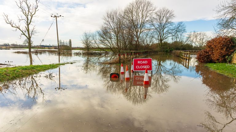
File image: iStock
He said: “Monday really is a day of sunny spells and blustery showers.
“Overnight Monday into Tuesday we will see a frosty start.
“It’s going to be a largely dry day, some decent amounts of winter sunshine.
“But it does start to go downhill later in the day, from the south and the west we’ve got a broad area of cloud and rain pushing in south-west England and South Wales late on Tuesday, during the course of Wednesday this will bring a mix of rain, sleet and hill snow.”
Mr Stroud added: “We do need to keep an eye on this system, there’s the potential for snow warnings to be issued.
“Thursday into Friday will be largely dry with some clear skies, turning milder towards the end of the week.”


